Welcome to the Workshop on Earth Observation with Chinese Satellite Systems and to the 44th Meeting of the Austrian Cartographic Commission
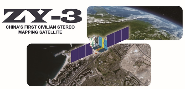
Remote sensing technologies are used widespread to monitor and analyze the environment and urban development. Although this is a standard procedure today, many issues remain with regard to availability, timeliness and suitability for various applications in the big data era. ZY-3, the first civilian stereo mapping satellite, and other Chinese earth observation systems offer great potential for the mentioned issues.
In October 2016, the University of Vienna entered into an agreement with the Satellite Surveying and Mapping Application Center (SASMAC) of the National Administration of Surveying, Mapping and Geo-Information (NASG) of the Peoples Republic of China with the aim to use, promote, and conduct research with ZY-3 and other Chinese earth observation data. The Research Group on Cartography and Geo-Information Science of the Department of Geography and Regional Research, Faculty of Earth Sciences, Geography and Astronomy announces an international workshop on applications of Chinese earth observation systems.
Picture-Copyright: Satellite Surveying and Mapping Application Center, NASG
Topics
- ZY-3 and other civilian Chinese satellite systems
- Satellite mapping
- Data fusion
- Environmental monitoring
- Smart cities
- Big data